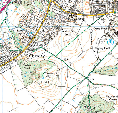
File:Topographic map.jpg
Topographic_map.jpg (400 × 386 pixels, file size: 87 KB, MIME type: image/jpeg)
Summary
Copyright status
protected by Crown Copyright under the Copyright Designs and Patents Act 1988
Source
Ordnance Survey contributors, Get-a-map. Ordnance Survey – Great Britain's national mapping agency. Retrieved at October 30, 2008. http://www.ordnancesurvey.co.uk/oswebsite/getamap/
File history
Click on a date/time to view the file as it appeared at that time.
| Date/Time | Thumbnail | Dimensions | User | Comment | |
|---|---|---|---|---|---|
| current | 10:10, 31 October 2008 |  | 400 × 386 (87 KB) | UE-InfoVis0809 0426276 (talk | contribs) |
You cannot overwrite this file.
File usage
The following page uses this file: