Teaching:TUW - UE InfoVis WS 2007/08 - Gruppe 08 - Aufgabe 1 - Spatial Analysis
Definition
The process of modeling, examining, and interpreting model results. Spatial analysis is useful for evaluating suitability and capability, for estimating and predicting, and for interpreting and understanding.
Description
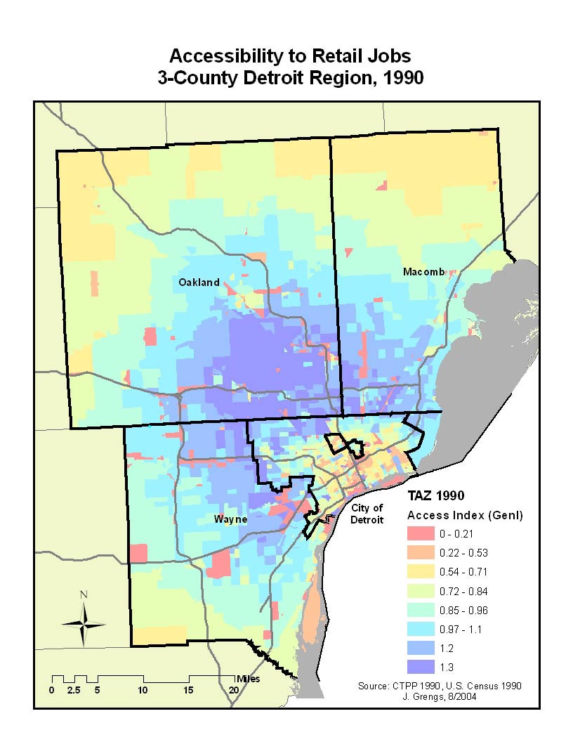
Spatial analysis is the process creating visual images or models from data to help understand or interpret that data. The data has to refer to a phenomena distributed in some form of space, this could for example be data relating to physical locations on a map. It is therefore frequently used as a tool for statistical and geographical purposes, such as to create predictions or evaluating the suitibility of a particular location for a purpose.
Examples
