File:Spat1.JPG: Difference between revisions
Jump to navigation
Jump to search
A table showing earthquake data in parts of the USA |
(No difference)
|
Latest revision as of 23:37, 8 November 2007
Summary
A table showing earthquake data in parts of the USA
Copyright status
Unknown
Source
[Pratt, 2003] Monica Pratt. Beginning spatial Analysis. ArcUser, October-December 2003: 58, October 2003
File history
Click on a date/time to view the file as it appeared at that time.
| Date/Time | Thumbnail | Dimensions | User | Comment | |
|---|---|---|---|---|---|
| current | 23:37, 8 November 2007 | 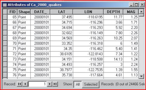 | 480 × 298 (52 KB) | UE-InfoVis0708 9927198 (talk | contribs) | A table showing earthquake data in parts of the USA |
You cannot overwrite this file.
File usage
The following page uses this file: