Uploads by UE-InfoVis0809 0426276
Jump to navigation
Jump to search
This special page shows all uploaded files.
| Date | Name | Thumbnail | Size | Description | Versions |
|---|---|---|---|---|---|
| 10:39, 19 October 2008 | E0426276.jpg (file) |  |
5 KB | picture of student 0426276 | 1 |
| 10:16, 30 October 2008 | Contour map.png (file) | 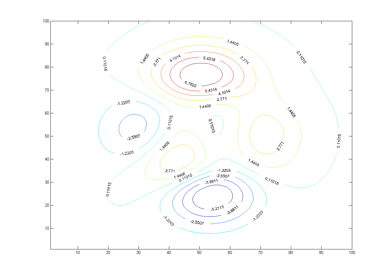 |
25 KB | A contour map contains multiple contour lines. Each line represents a constant level within the map. | 1 |
| 10:43, 30 October 2008 | Weather map.jpg (file) | 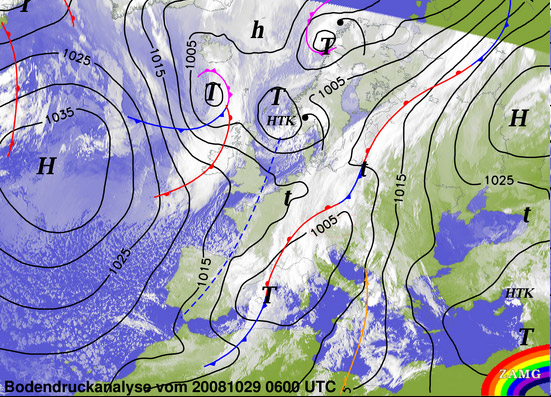 |
133 KB | The map shows the analysis of the weather condition. | 1 |
| 13:12, 30 October 2008 | Ocean contour map.jpg (file) | 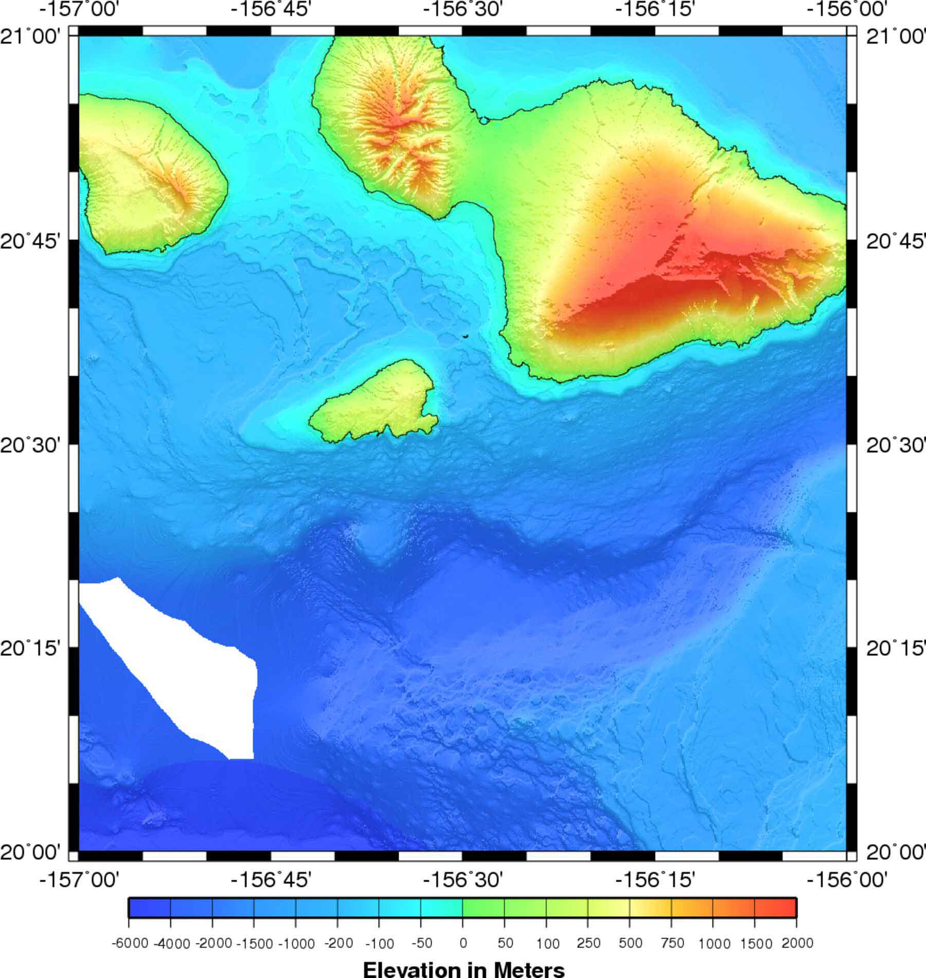 |
150 KB | ocean contour map | 1 |
| 13:29, 30 October 2008 | Bathymetry.jpg (file) | 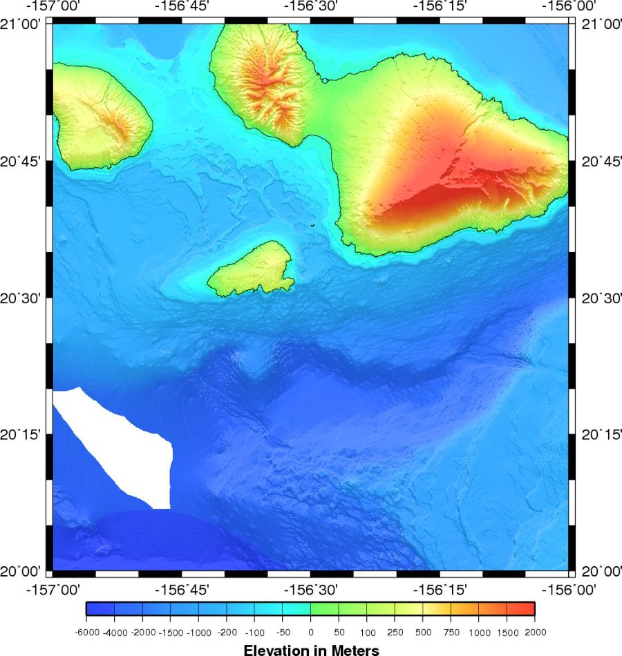 |
118 KB | ocean contour map | 1 |
| 10:10, 31 October 2008 | Topographic map.jpg (file) | 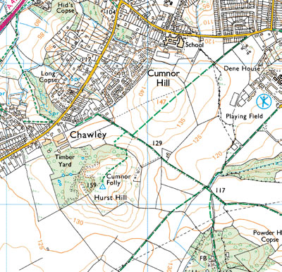 |
87 KB | 1 | |
| 10:36, 12 November 2008 | Wilmarth08 new.jpg (file) | 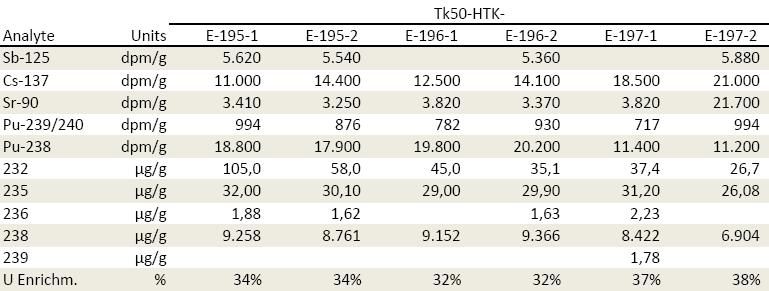 |
45 KB | 1 |