File:Ocean contour map.jpg
Size of this preview: 568 × 600 pixels. Other resolution: 1,800 × 1,900 pixels.
Original file (1,800 × 1,900 pixels, file size: 150 KB, MIME type: image/jpeg)
Summary[edit]
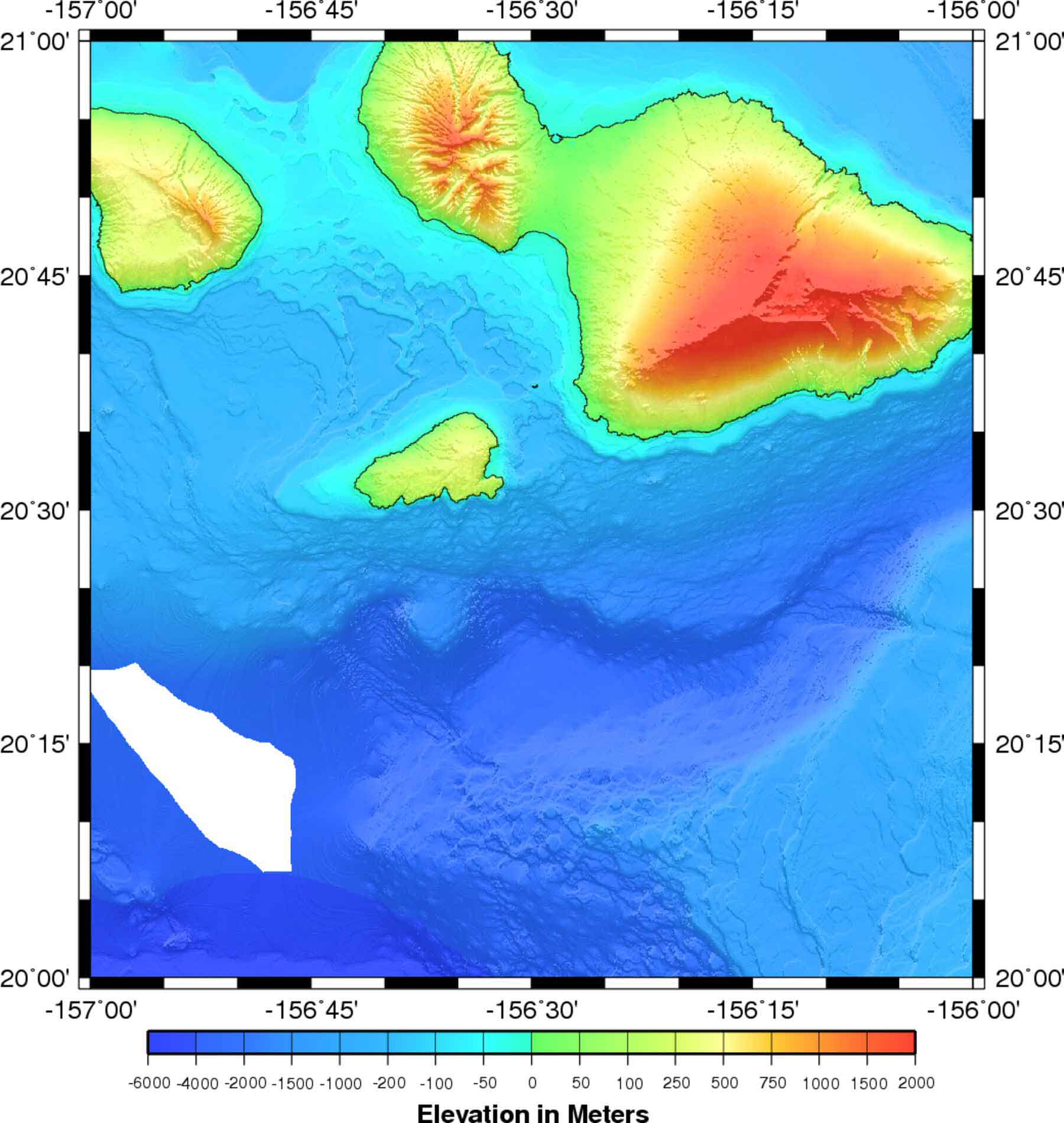
ocean contour map
Copyright status[edit]
Copyright © 2007 Henricks Outdoors, LLC, all rights reserved
Source[edit]
http://www.fishtheoutdoors.com/research/contour_maps/grddas10/sr_image/hi_res/gna21157.jpg
File history
Click on a date/time to view the file as it appeared at that time.
| Date/Time | Thumbnail | Dimensions | User | Comment | |
|---|---|---|---|---|---|
| current | 14:12, 30 October 2008 | | 1,800 × 1,900 (150 KB) | UE-InfoVis0809 0426276 (talk | contribs) | ocean contour map |
You cannot overwrite this file.
File usage
There are no pages that use this file.